Introduction
One of the most significant advancements in the use of BIM is the integration of laser scanning for surveying existing buildings and structures.
“Would different decisions have been made if there had been the opportunity to study the restorations of the Roman Colosseum with the assistance of a point cloud and an exact BIM model? Laser scanning has elevated excellence in architectural practice by providing an invaluable tool for the documentation and understanding of the built environment.” – Josefina S., Architect.
According to researchers, employing the laser scanning technology instead of traditional 2D scanning on a project can show up to 50% savings, with the fastest timeframe demonstrating the most profits.
What is Laser Scanning and How Does it Work?
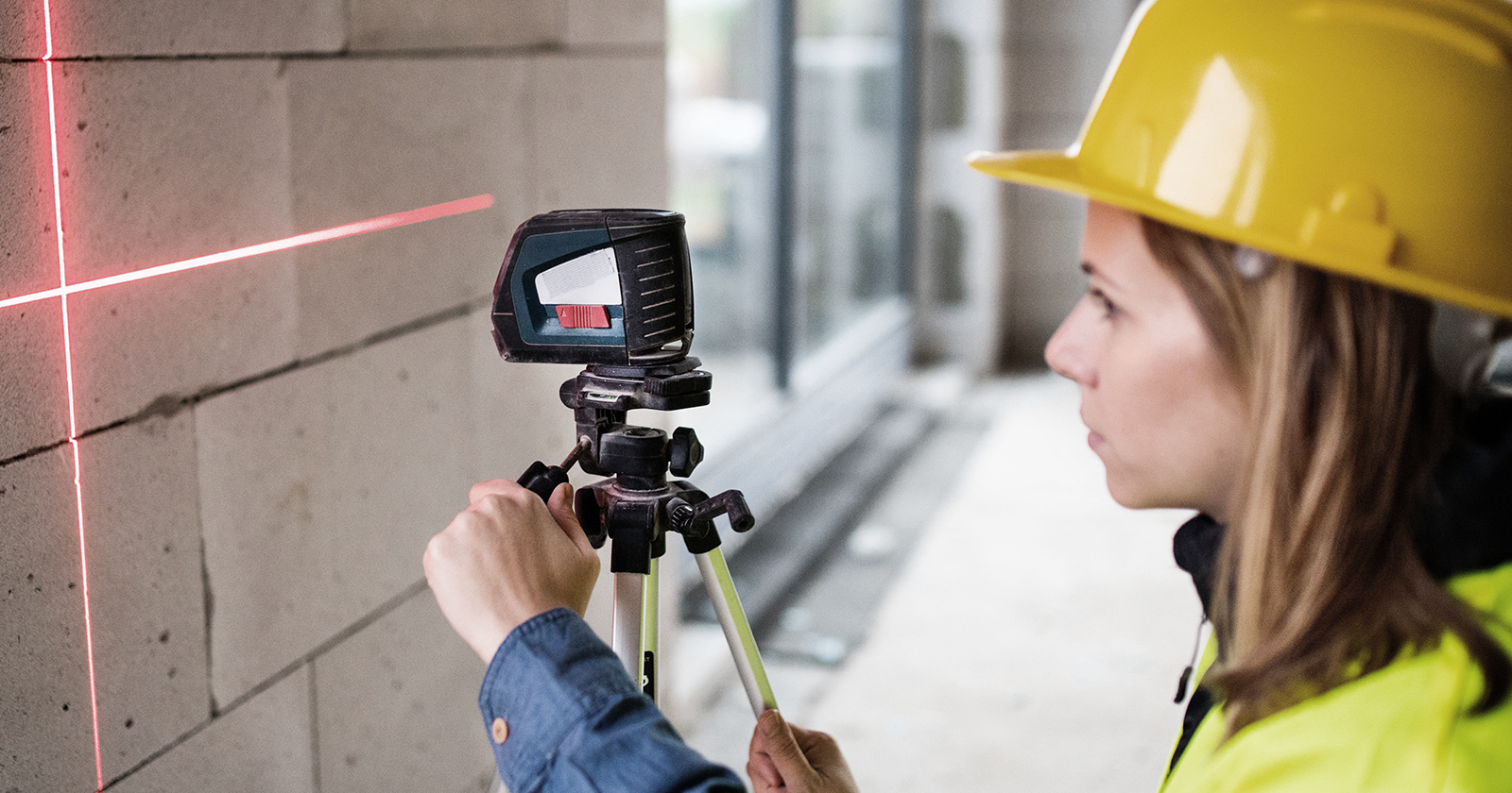
Laser scanning is a technique that utilizes laser beams to meticulously record the three-dimensional shape of an object or space. The process involves emitting laser beams, recording the time of return, and generating three-dimensional point clouds. These points are then processed using specialized software to produce detailed and accurate 3D models of the scanned environment.
The unprecedented precision, enhanced efficiency, and ability to tackle complexity make laser scanning a fundamental pillar in the continuous evolution of the construction industry towards a more precise and efficient future.
The “Scan to BIM” process in 3 fundamental phases
-
- 3D Building Survey with Laser Scanner: The “Scan to BIM” process involves on-site operations with 3D scanners that capture the entire structure. The 3D scanner collects data at high speed and precision using a laser beam projected in all directions. When the laser beam hits a solid surface, its position is recorded through points located in the X, Y, and Z axes. The collection of all these points resulting in the 3D visualization of the building is termed the “point cloud.”
- Data Processing and Processing: Software applications extract physical and functional information from the building based on the point cloud scan. The multiple observation points in the scan provide a comprehensive view of the structure, ensuring absolute accuracy. It is common practice to clean and modify the point clouds, reducing density or dividing the cloud into sectors. This allows for working on the project in the BIM software efficiently.
- BIM Modeling: The point cloud is imported into BIM software and a BIM model is generated from the geometric and spatial information contained in the point cloud. It can be enriched with additional information such as equipment, photographs and videos that provide visual insights into the project. All this information must be properly incorporated to ensure that BIM model can be useful for other applications of the “Scan to BIM” process (urban redevelopment, restoration, facility management through a digital twin, etc.).

Improvements and Applicability of Laser Scanning in Construction
The capture of data through laser scanning is fast and efficient, optimizing the entire process. In terms of precision, the obtained data is detailed and exact, eliminating or reducing human errors. This provides a reliable basis for design and construction. Laser scanning also allows the capture of complex details and intricate structures that may go unnoticed by traditional methods, addressing the inherent complexity of certain spaces or objects.
Applications in Construction, Planning, and Post-Construction
Laser scanning is integrated into various stages of the construction process, proving particularly useful in planning. It provides precise site data before initiating a design or renovation, ensuring an accurate adaptation to the existing environment and avoiding unwanted surprises during project execution. In the post-construction phase, laser scanning becomes an essential tool for comparing the final result with the original designs, detecting possible deviations, and facilitating future maintenance.
“The technology not only saves time in surveys but also provides a solid foundation for the creation of BIM models, enhancing efficiency and precision in every phase of the architectural project.” – Josefina S., Architect
Versatility in Residential, Commercial, Hospital, and Industrial Projects
Laser scanning is applicable to a variety of projects, from residential to industrial. It has the ability to adapt to different environments and this makes it a valuable tool in construction contexts.
It can be utilized not only for large-scale projects but also for small-scale projects in infinite ways, as many as our own creativity. Here are 6 points where laser scanning is already being used today.
- Industrial Applications: Utilize laser scanning for precise as-built surveys and clash detection analyses in diverse industrial settings.
- Architecture & Construction: building measurement leveraging highly accurate 3D point cloud information. With the posibility of transforme the point cloud in a BIM Model and panoramic images.
- Heritage documentation: providing highly accurate results in 3D format. Capture the essence of heritage sites with precision and detail through scanning, including panoramic images, virtual tours, and high-resolution orthoimages.
- Urban Planning: 3D laser scanning for capturing vast urban areas. The point cloud information becomes a valuable asset, supporting planning and design needs. Elevate initiatives with 2D or 3D topographical surveys, 3D modeling for Rights of Light analysis, and contextual elevations.
- Offshore: Hard-to-reach sectors such as offshore installations, including oil rigs and vessels. Laser scanning has become a great ally when it comes to analyzing and designing maritime platforms.
- Reverse Engineering: Exact geometric analysis at sub-millimeter levels allows for the generation of precise 3D models and detailed technical documentation, ensuring reliability for small elements and objects.
Workflow and Compatibility with Traditional Systems
The workflow of laser scanning involves laser capture, data processing, and integration of the point cloud into BIM platforms. This process has been optimized for a smooth and efficient transition between different project stages.
Laser scanning is highly compatible with other systems, allowing for the effective integration of captured data with existing information. This compatibility enriches the knowledge base and facilitates informed decision-making.
Specialized Software and Deliverables
Laser scanning relies on specialized software such as Leica Cyclom and Autodesk ReCAP. The deliverables go beyond simple 3D models, including point clouds and detailed reports. Integration with BIM software, such as Revit, enables the conversion of point clouds into accurate three-dimensional models. These models can then be used to generate the necessary documentation. Moreover, Revit files can be exported to other formats, such as AutoCAD files, ensuring compatibility with traditional software.
Conclusion
Implementing laser scanning in construction not only improves precision and efficiency but also opens new possibilities for planning and post-construction analysis. This technological advancement redefines the way we conceive and execute projects, setting a higher standard of excellence in modern construction.
The unprecedented precision, enhanced efficiency, and ability to tackle complexity make laser scanning a fundamental pillar in the continuous evolution of the construction industry towards a more precise and efficient future.
In conclusion, laser scanning offers significant benefits in the construction industry, including improved efficiency, enhanced precision, and the ability to capture intricate details.


